DGPS (Horizon)
Differential Global Positioning System (DGPS) is an enhancement to Global Positioning System that provides improved location accuracy, from the 15-meter nominal GPS accuracy to about 10 cm in case of the best implementations.
Buy Now
Differential Global Positioning System (DGPS) is an enhancement to Global Positioning System that provides improved location accuracy, from the 15-meter nominal GPS accuracy to about 10 cm in case of the best implementations.
Buy Now
Differential Global Positioning System (DGPS) is an enhancement to Global Positioning System that provides improved location accuracy, from the 15-meter nominal GPS accuracy to about 10 cm in case of the best implementations.
Buy NowDrones are powerful tools to help in the mapping and surveying industry. They can effectively perform work for 3D mapping, land surveys, photogrammetry, and topographic surveying by flying above the ground.
Buy Now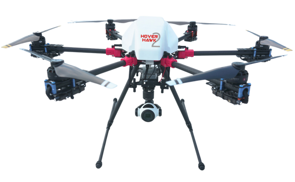
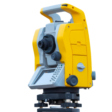
Total Station is the advanced electronic / computerised machine for topographic surveying. It is integrated with an electronic distance meter (EDM) to read slope distances from the instrument to a particular point.The distances, angles, and co-ordinates are measured by infrared signals, with great accuracy.It can store data of distance, angles, levels which can be downloaded to a computer later. The computer will use this data to generate a map and get prints from the printer. Total station is used widely in all civil works all over the world as it saves time and maintains accuracy.
Buy Now3D laser scanning can be used to capture real world information. Common uses are: As-built survey, reality capture or existing conditions survey. Construction verification, sequencing, scheduling and simulations.
Buy Now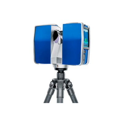
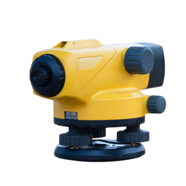
An Auto Level is a Professional Leveling Tool used by Contractors, Builders, Land Surveying Professionals, or the Engineer who demands accurate leveling every time. AutoLevels set up fast, are easy to use, and save time and money on every job. We have a large selection of Automatic Levels for your choice of options like magnification
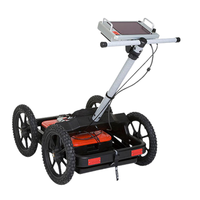
Buy NowGround Penetrating Radar (GPR) is a real-time NDT technique that uses high frequency radio waves, yielding data with very high resolution in a short amount of time. This technique uses electromagnetic waves that travel at a specific velocity determined by the permittivity of the material.
Buy Now