RTK Drone
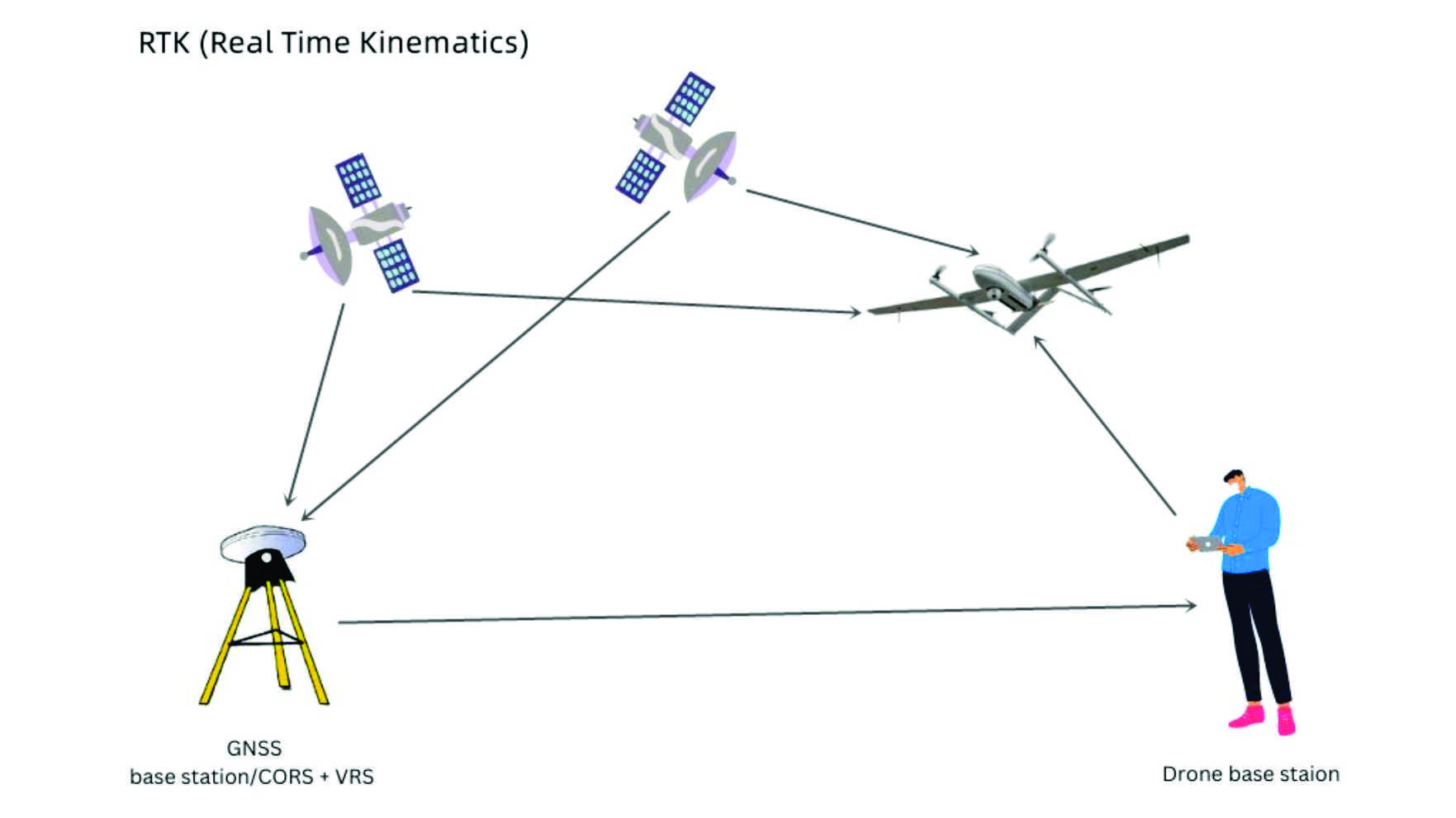
RTK, or Real-Time Kinematic, is a corrective surveying technique used by many Global Navigation Satellite Systems (GNSS)/Global Positioning Systems (GPS) to greatly improve the accuracy of their receivers. Compared to conventional satellite navigation systems (which have a positional accuracy of about two to four meters), RTK capable systems are roughly 100 times more accurate. Using carrier-based ranging, RTK-capable receivers provide real-time positional corrections at up to centimeter-level accuracy to ameliorate common location data errors that persist in traditional GNSS/GPS. Depending on the sophistication of the RTK receiver, these precision corrections are outputted from at least once per second to up to 20 times a second.
Send an inquiry


